Cape Kaliakra — the rock that keeps legends
Two kilometres of red cliffs above a blue sea, 2,400 years of history and the legend of the 40 maidens — Bulgaria's first reserve.
Two kilometres into the blue
Cape Kaliakra is one of the most dramatic and historically rich capes on the entire Black Sea coast. This narrow rocky peninsula stretches 2 kilometres into the sea, and its red cliffs plunge 60–70 metres into the waves.
The cape is both a nature reserve and an archaeological site of European significance — a place where more than 2,400 years of history have left their mark on the rocks and in Bulgaria's cultural memory.
From Tirizis to Kaliakra
The earliest evidence of settlement dates to the 4th century BC, when the Thracian tribe of the Tirizi founded the settlement of Tirizis. The Greek geographer Strabo described Cape Kaliakra as the capital of King Lysimachus — one of the successors of Alexander the Great.
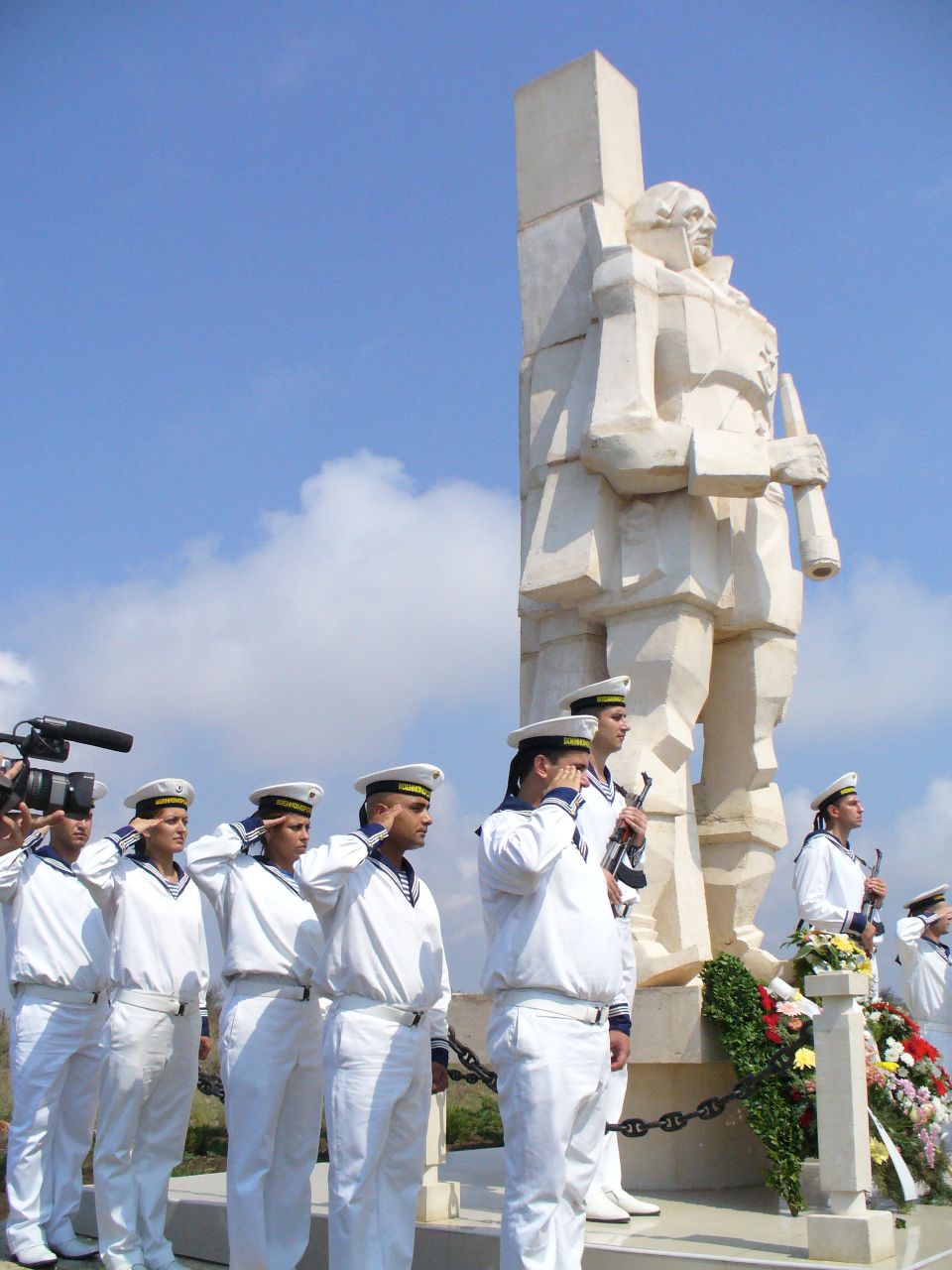
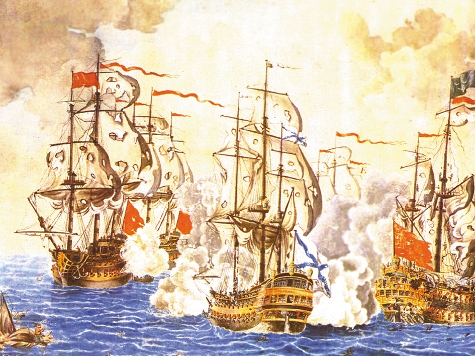
In the Middle Ages the cape became the centre of the Karvuna principality of Despot Dobrotitsa (14th century), who created Bulgaria's first navy. In 1791 the great naval battle took place off the cliffs, in which Admiral Ushakov crushed the Ottoman fleet.
The Gate of the 40 Maidens
The most stirring legend tells of 40 Bulgarian maidens during the Ottoman invasion. Captured by the invaders, they refused to surrender their honour — they braided their hair together and leapt from the cliffs into the sea.
The narrowest stretch of the cape is called the 'Gate of the 40 Maidens'. According to tradition, the red colour of the cliffs comes from the blood of the defenders, soaking the stone through centuries of battle.
Bulgaria's first reserve
Cape Kaliakra was declared a reserve in 1941 — the first protected territory in Bulgaria and the only reserve with a sea area. Its area is 687.5 hectares of land and sea.
More than 400 plant species and 310 bird species are found here. The cape lies on the Via Pontica migration route — every autumn over 29,000 storks, pelicans and cranes pass over it, along with thousands of birds of prey.
Rare birdlife
Steppe eagle, peregrine falcon and imperial eagle among the cliffs.
Unique vegetation
More than 400 species, including rare steppe plants.
Sea dwellers
Dolphins playing in the waves off the red cliffs.
Along the cape trail
A walking trail with panoramic views leads to the end of the cape. Along the way are an archaeological museum in a cave, a model of the ancient fortress Tirizis and the chapel of 'St. Nicholas the Wonderworker', restored in 1993.
At the tip of the cape, the lighthouse and restaurant offer some of the most beautiful sunset views on our Black Sea coast.
- Archaeological museum housed in a cave
- Model of the ancient fortress Tirizis
- Chapel of 'St. Nicholas the Wonderworker'
- Remains of the fortress walls — 440 metres
- 4th-century Roman bath and an arched tomb
- Lighthouse and panoramic viewpoint at the top
☀ Tip
The wind blows almost constantly — bring a windbreaker even in the hot season, and pick late afternoon for photos, when the cliffs glow orange.
| Location | 12 km southeast of Kavarna |
|---|---|
| Status | Natural and archaeological reserve (since 1941) |
| Area | 687.5 hectares, including a sea area |
| Part of | 100 National Tourist Sites |
| Access | Paid entry, open all year |
Gallery